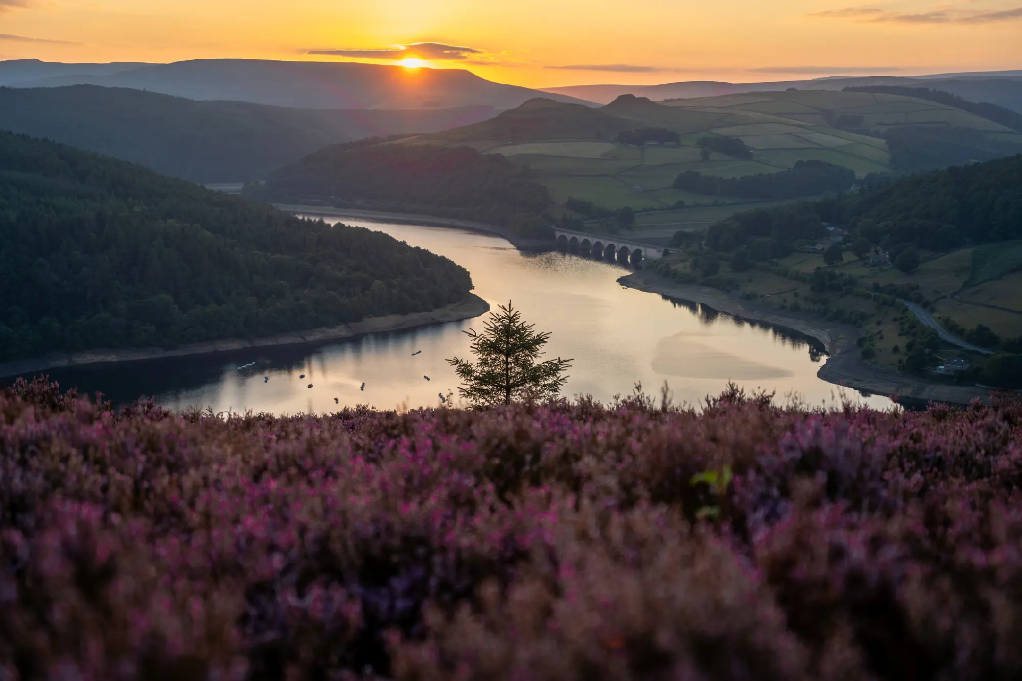
Golden sunset over Ladybower Reservoir in the Peak District, with purple heather in the foreground and the historic Ashopton Viaduct spanning the water beneath distant hills.
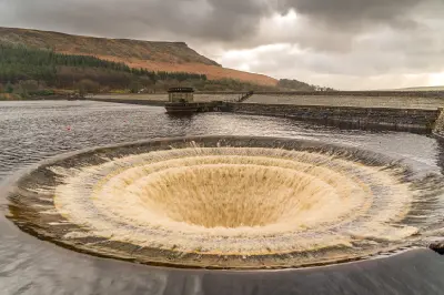
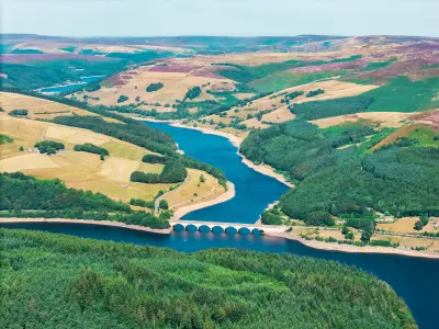
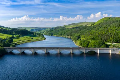
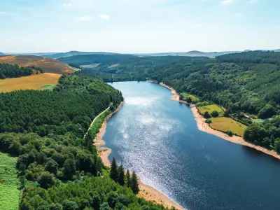
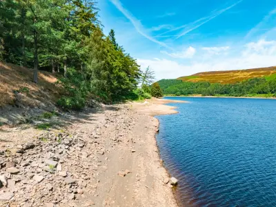
Ladybower Reservoir is a large, Y-shaped reservoir in the Upper Derwent Valley of the Peak District National Park, surrounded by wooded hillsides, moorland slopes and the higher ground of the Dark Peak. Completed in 1945, it is known for its distinctive bellmouth spillways, the Ashopton Viaduct and the branching waterways extending towards the surrounding valleys. Its combination of open water, engineered structures and changing woodland scenery provides opportunities for landscape and architectural photography from accessible shoreline viewpoints.
53.38366, -1.71592
Gallery
Quick Facts
Access
Short Walk
0–5 min
Elevation Gain
10 m
Best Light
Calm conditions create reflections of wooded hillsides, while soft light preserves detail across the water and the reservoir's stone and concrete structures.
Why This Light
Season
Seasonally Distinct
Summer brings green woodland around the reservoir, with leafy shorelines and changing reflections across the water. Winter reveals bare trees, subdued hillside colours and occasional frost or snow, while periods of heavy rainfall can bring the bellmouth spillways into operation.
Crowds
Busy Midday
Restrictions
Ladybower Reservoir can be photographed from several roadside and shoreline viewpoints, including locations near Ashopton Viaduct and the reservoir's eastern side. Parking is available at designated locations, although popular areas can become crowded during weekends and holidays. Paths vary from paved or surfaced routes to uneven woodland tracks. The bellmouth spillways are operational water-management structures and must be photographed from safe, publicly accessible positions. Water levels vary, and the spillways are not always overflowing. Swimming and other activities may be restricted by the reservoir operator, and drone use requires checking applicable airspace rules and landowner permissions.