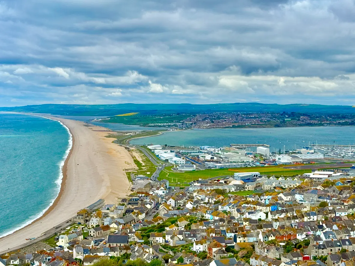
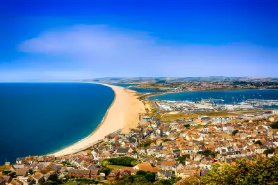
Aerial panorama of Chesil Beach stretching along Dorset’s Jurassic Coast, with the town of Fortuneswell on Portland, Portland Harbour and the Fleet Lagoon beneath dramatic clouds.
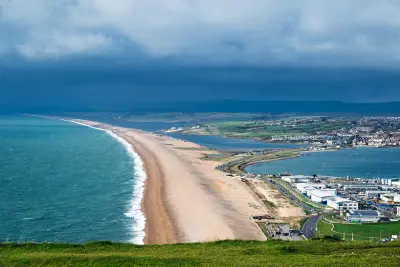
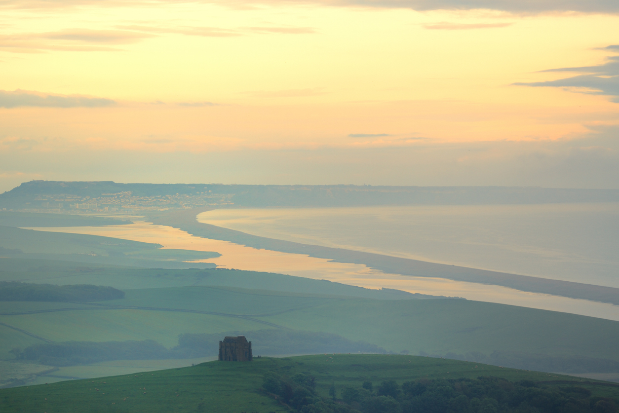
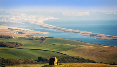
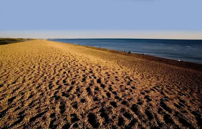
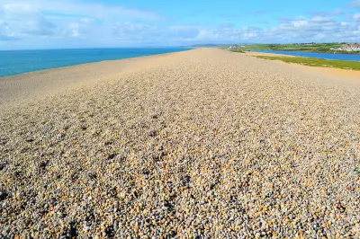
Chesil Beach is a long shingle barrier stretching approximately 29 kilometres along Dorset's Jurassic Coast, separating the Fleet Lagoon from the English Channel along much of its length. Its sweeping curve, steep pebble banks and contrasting lagoon waters create distinctive coastal patterns. Elevated viewpoints near Portland reveal the scale of the beach, while shoreline positions emphasise its textures and exposed seaward slope.
50.61533, -2.53589
Gallery
Quick Facts
Access
Roadside / Step-out
0–5 min
Elevation Gain
0 m
Best Light
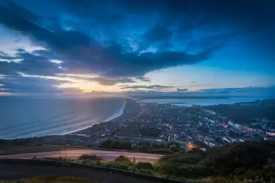
Low-angle light reveals the shingle ridge's contours, while calmer conditions create reflections in the Fleet Lagoon behind the beach.
Why This Light
Season
Year-Round Stable
Summer brings lighter-toned shingle, clearer blue water and green vegetation around the Fleet Lagoon, with the beach's sweeping curve visible in settled conditions. Winter brings muted lagoon vegetation, darker wet pebbles and stronger waves breaking against the steep seaward bank.
Crowds
Busy Midday
Restrictions
Chesil Beach can be accessed at several points along its length, including the Portland end near Ferry Bridge and the Chesil Beach Visitor Centre. Parking is available close to the beach, although charges may apply. The steep shingle bank is uneven and tiring to walk on, with loose pebbles shifting underfoot. The seaward side is exposed to powerful waves and strong undertow, particularly during rough weather. The Fleet Lagoon and adjoining shore include protected wildlife habitats, with seasonal access restrictions affecting some sections of the beach. Visitors should follow local conservation notices and avoid restricted nesting areas.