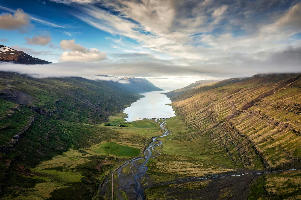
EAST ICELAND (65.198, -13.774) — A sweeping aerial view reveals the narrow Mjóifjörður fjord, where the Fjarðará river meanders through a lush green valley toward a remote coastal village tucked beneath towering mountain ridges.
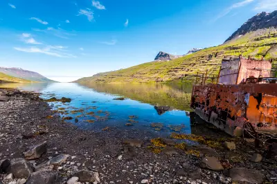
Mjóifjörður Fjord is a narrow coastal inlet located south of Egilsstaðir in East Iceland. Steep mountain walls descend sharply toward the sheltered water corridor. Its enclosed geometry creates a composition structured by converging slopes and layered fjord depth.
65.18330, -14.01670
Gallery
Quick Facts
Access
4×4 Required
0–5 min
Elevation Gain
300 m
Best Light
Light works best when low-angle sun strikes along the fjord corridor because angled illumination enhances ridge separation and emphasizes depth toward the fjord head.
Why This Light
Season
Seasonally Distinct
In summer, exposed slopes emphasize the fjord's narrow corridor form. In winter, snow increases tonal contrast along the ridge lines and simplifies the landscape geometry.
Crowds
Usually Quiet
Restrictions
Gravel mountain road conditions vary depending on weather.
Certainty: unknown