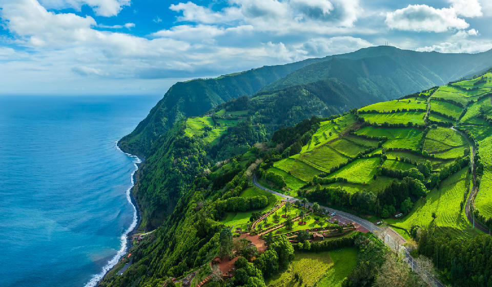
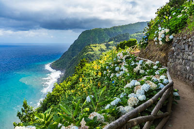
Coastal landscape from Miradouro da Ponta do Sossego in the Nordeste region of São Miguel Island in the Azores, where steep green cliffs descend toward the Atlantic Ocean.
São Miguel is a large volcanic island defined by crater lakes, steep interior ridges, and a deeply indented coastline. Its landscape is structured around overlapping calderas, high pastures, and exposed coastal cliffs rather than a single dominant scene.
Gallery
Key POIs in São Miguel
Nearby Places
View all on mapOverview
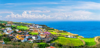
The island is built from multiple volcanic systems, creating a varied interior of lakes, collapsed craters, and elevated plateaus that descend toward the sea. Settlement and agriculture occupy the lower slopes, while higher elevations remain open, green, and frequently cloud-covered, producing strong transitions between enclosed interiors and expansive coastal edges. Photographically, São Miguel functions as a collection of distinct environments rather than one unified composition. Wide scenes resolve at specific sites—lakes, rims, and headlands—while the island-scale experience is defined by contrast: interior versus coast, elevation versus shoreline, and shifting visibility driven by weather and cloud.
Key photography subjects
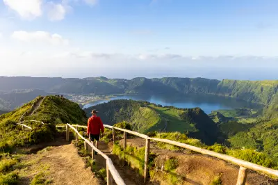
- Volcanic crater lakes set within enclosed calderas
- Layered interior ridgelines rising above pastureland
- Steep coastal cliffs meeting open Atlantic water
- Broad green slopes broken by volcanic formations
- Cloud and mist separating interior high ground from the coast
Workshops in São Miguel
No upcoming workshops found in this area.
Browse all workshops →